
160 km
Ghadir Highway main route
OriginAbyek · Qazvin Province
DestinationCharmshahr · Tehran Province
Infrastructure scale, network position and the potential to shape economic opportunities along Ghadir Highway—for investors, developers and specialist partners.
Ghadir Highway main route
Three traffic lanes in each direction
Existing-infrastructure characteristic in the source study
Linking the west and south-east of the Tehran metropolitan area
From Karaj–Qazvin to Qom–Garmsar
Karaj–Qazvin connection
Access to western industrial areas
Western and central network link
Access to southern national routes
Qom–Garmsar connection
Route specifications: Transport and Logistics study, page 7. This is a network overview, not an engineering drawing or legal boundary.
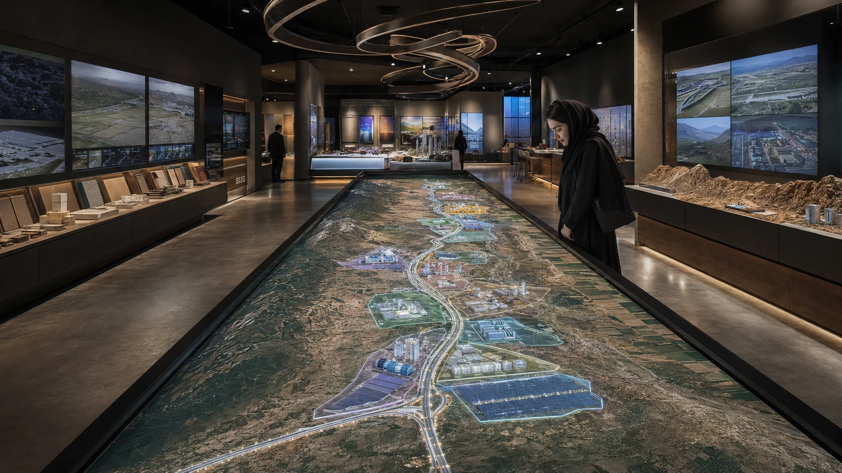
Running from Abik to Charmshahr, Ghadir Highway forms a strategic link in Iran's transport network and connects major northern, western, central and southern approaches. Its position can facilitate freight movement, relieve pressure on routes around Tehran and improve access between production, distribution and consumption centres.
Building on this infrastructure, the Ghadir Economic Corridor brings together 11 proposed packages spanning smart transport and logistics, advanced industry, renewable energy, circular economy, food value chains, roadside services, tourism and innovation infrastructure.
Study basis: Development Vision study, spatial introduction, printed pages 1–3 / PDF pages 7–9.
Its position on Tehran's southern perimeter and links to western, central and southern routes explain the corridor's network role for freight movement and access to production and distribution centres.
A continuous west-to-south-east route view
Points recorded in the project's public dataset
For roadside-service screening
Public route geometry for segment 1, provided for orientation and initial screening; it is not a legal or cadastral boundary.
Public route geometry for segment 2, provided for orientation and initial screening; it is not a legal or cadastral boundary.
Public route geometry for segment 3, provided for orientation and initial screening; it is not a legal or cadastral boundary.
Public route geometry for segment 4, provided for orientation and initial screening; it is not a legal or cadastral boundary.
This diagram summarizes the recorded route sequence and infrastructure. It is not an engineering drawing, a legal boundary, or a scale map.
Two study visuals explain Tehran's position in a polycentric network and modelled freight flows between the Tehran hub and national logistics centres.
Tehran is represented as a first-tier national centre. Ghadir Highway's southern metropolitan position can support interprovincial movement and improve corridor activities' access to major markets.
The approximately 4,366,780 TEU functional capacity in the hub-flow map is a study-scenario estimate, not current network or highway throughput.
Hub-flow basis: map 10, printed page 15 / PDF page 21. Maps 12–15 appear on printed pages 17–19 / PDF pages 23–25.
Superzones organize specialized roles and connect each package to its relevant value-chain and spatial context.
This superzone connects the corridor’s production and trade activities to distribution networks, regional markets, and logistics services.
Explore superzoneThis superzone links specialized, knowledge-based production chains to infrastructure, logistics, energy, and markets along the corridor.
This superzone strengthens corridor sustainability through clean energy, material recirculation, and industrial symbiosis.
Explore superzoneThis superzone provides the data and intelligence infrastructure required for logistics, industry, energy, and digital corridor management.
Explore superzoneThis superzone converts highway movement into stopovers, experience, destination-based spending, and tourism value.
Explore superzoneThis arrangement shows conceptual relationships between specialized superzones and packages; it is not a geographic map or spatial boundary.
This directory is generated from the canonical package data. Each item is a study proposal, not an approved or investment-ready project.
This lightweight view supports rapid orientation. The full map provides filters and an accessible record list.
Review relevant packages, inspect proposed locations on the map, then submit a question or meeting request with the package context.